The Starting Point
Here we are, right in front of the fountain of Quintos.
The Village Quintos is situated on a tributary of the Guadiana River, and boasts a population of approximately 250 individuals. However, the village's picturesque setting has been marred by the unchecked proliferation of olive groves, which have had a detrimental effect on the community. Not only has the relentless expansion of these groves resulted in a dearth of public space for locals, but it has also led to a significant uptick in pollution and other environmental concerns.
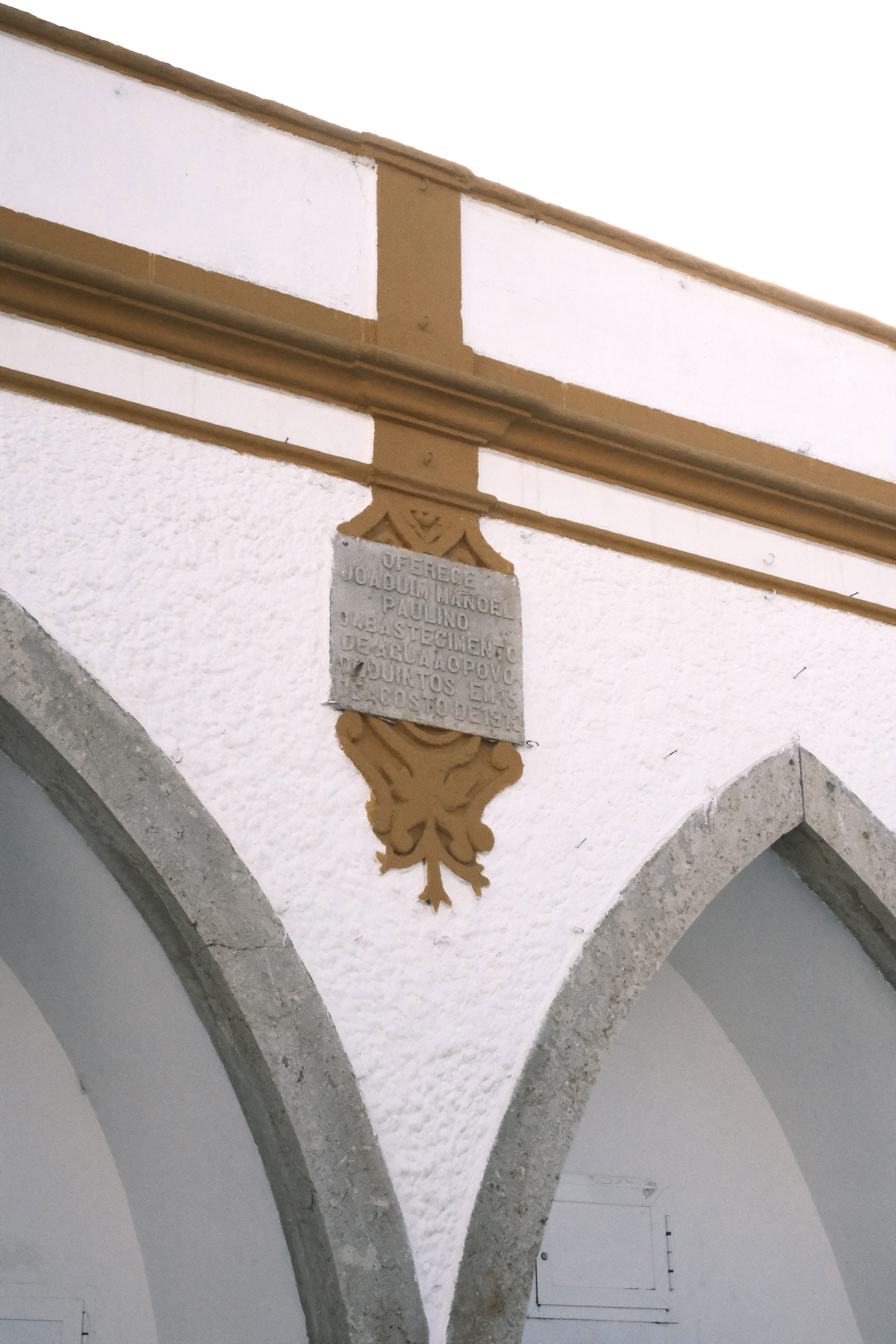
Figure1: Fountain of Quintos
We analyzed the impact of mono-crop fertilization on infractions in the water
system. At our main study site, Quintos, we collected and tested local fountain
water and found the same problem in EFMA's consumption water quality: the water is contaminated.
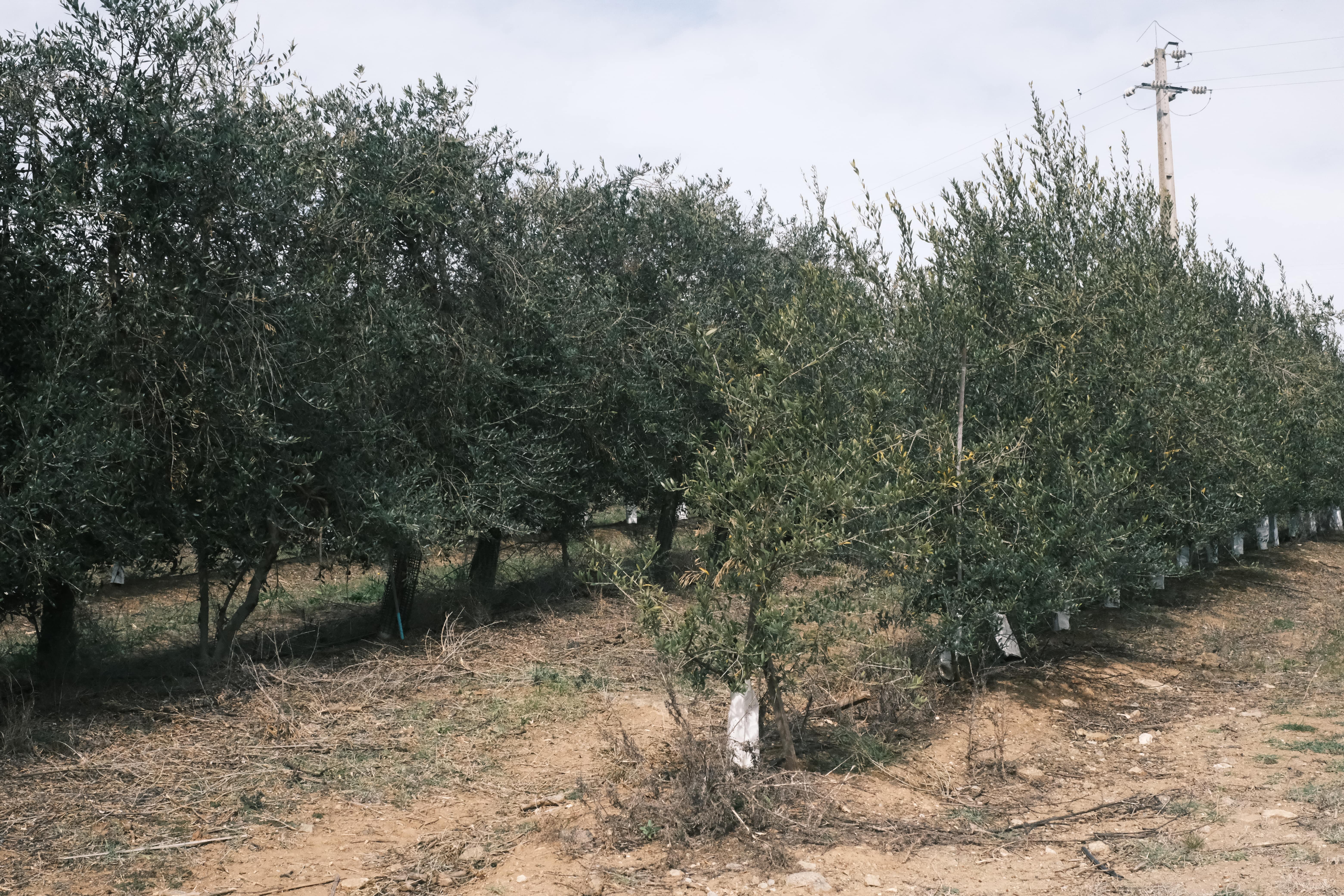
Figure1: intensive cultivation
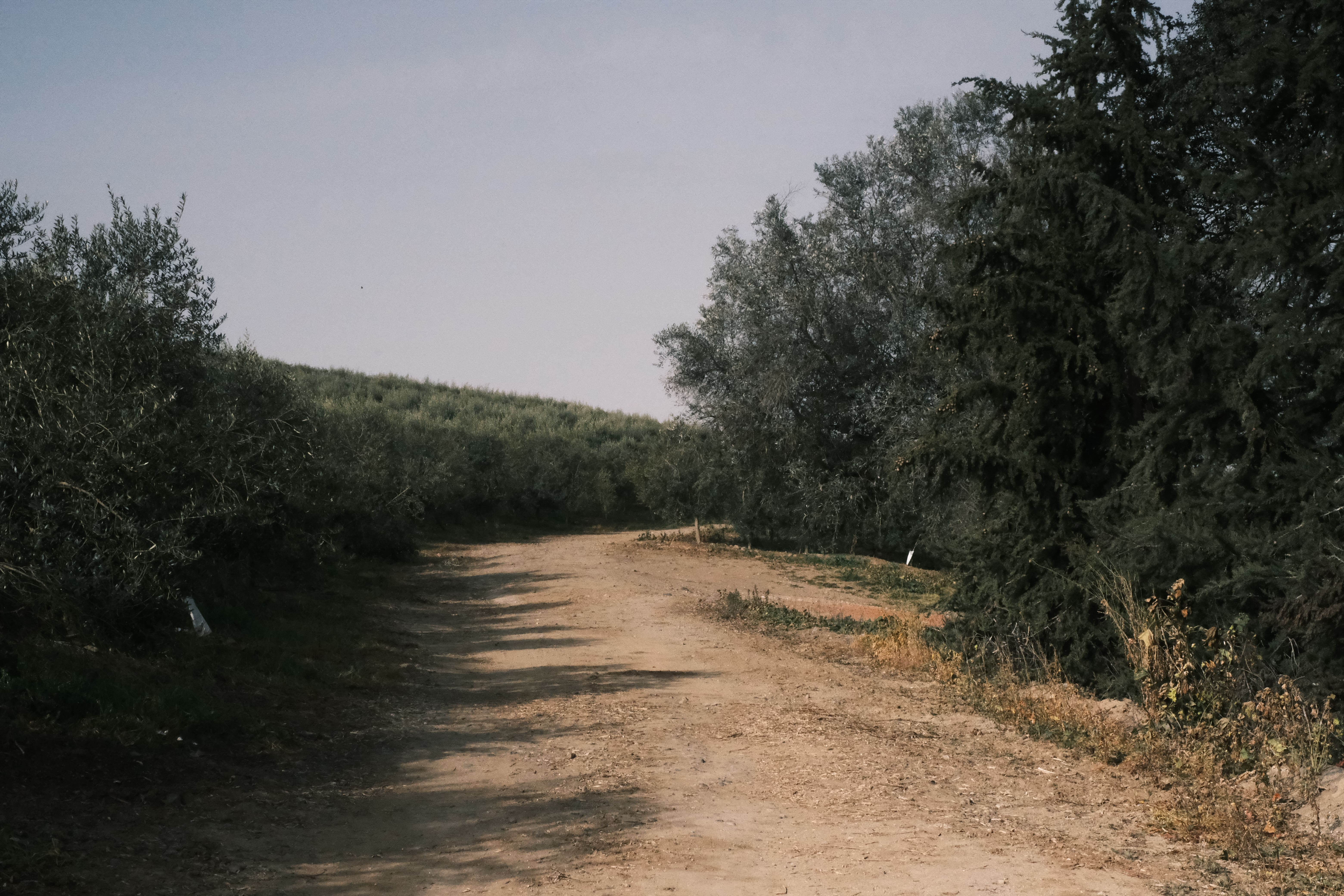
Figure2: the boundary between intensive and traditional cultivation
The rapid expansion
of the irrigated crop areas and the mono-agricultural system has changed the traditional landscape, meanwhile,
inadequate supervision and infractions arise over the years.
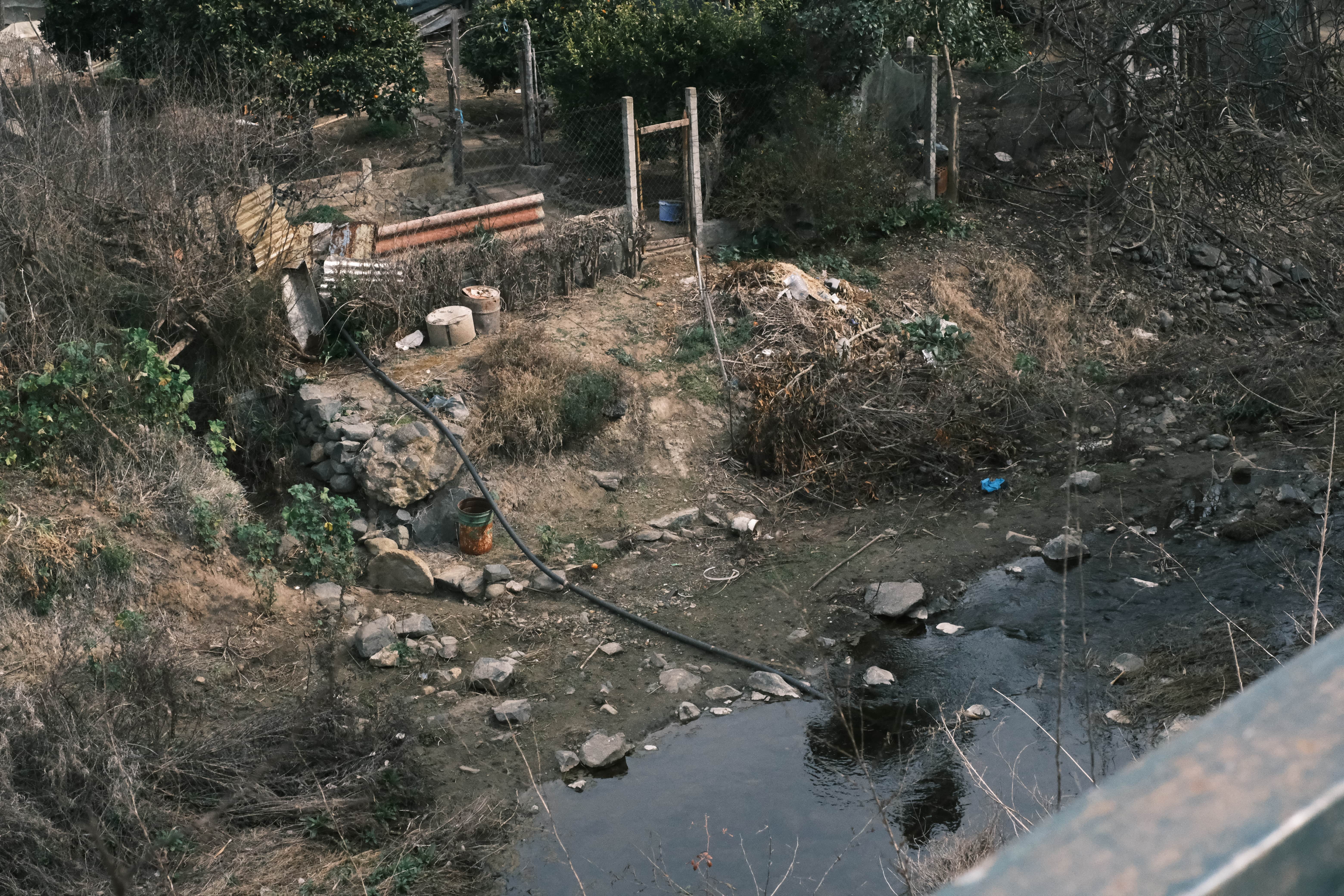
Figure3-4: discharge waste water into the river
Water Quality Inspection
In the field, we conducted a water sample test, revealing that the nitrate concentration in the fountain is 50 milligrams per liter. This finding surpasses the World Health Organization's guideline value for nitrate in drinking water, which is 11.3 milligrams per liter.
The tap water, which has undergone purification by the water supply company, measures 10 milligrams per liter, meeting the guideline requirements.

Figure1: Water quality test in the fountain

Figure2: Colour change of water quality test strips recorded on site
In Quintos, the residents have a longstanding tradition of utilizing the fountain, with a notable portion of the population choosing to drink directly from it. However, there are notable health hazards associated with this practice in the long term.

Figure3: Fountain in Quintos, Feb 2023

Figure 1: Infraction map of Quintos
CONTACT:
Câmara Municipal de Beja
Location:
Praça da Republica, 7800-427 Beja, Portugal
Tele:
+351284311800

Cited legislation
Quintos Case Study
The illegal intensive farming in Quintos village encroaches upon the protection zones. The map reveals the encircling of village structures by intensive agriculture.
Currently, there are two types of protected areas in Quintos village:
One is the village's sanitary protection zone[1], , and the other is the village's groundwater extraction point. [2]
By combining these two types of protected zones, it was found that intensive agricultural planting in the area violates regulations and constitutes illegal planting. The area of superintensive cultivation is 164.56 hectares, and based on the olive tree life cycle, the nitrogen content in the area is calculated to be 3949.44 kg/ha. The area of intensive cultivation is 85.58 hectares, with a nitrogen content of 12833.4 kg/ha.
Taking into account the previous land use changes, intensive agriculture is gradually encroaching on the village's buildings, affecting the surrounding ecological environment and the lives of residents.
[1]
https://geoportal.cm-beja.pt/documentos/IGT/PDM_Public_DR_Av4296_2014.pdf
See Artigo 91.º on page 110 for details.
[2] https://www.ifap.pt/portal/documents/182/5757568/9909_22_dl_382_99_protc_aguas_ subterraneas.pdf/e7b6e34c-4dff-4aed-32cf-cb9e183a2d6fFor more information refer to the 3rd entry in MINISTÉRIO DO AMBIENTE Decreto-Lei N. O 382/99 de 22 de Setembro. 22 Sept. 1999.
[3]Sales, H., Figueiredo, F., Vaz Patto, M.C. and Nunes, J. (2022). Assessing the environmental sustainability of Portuguese olive growing practices from a life cycle assessment perspective. Journal of Cleaner Production, 355, p.131692. doi:https://doi.org/10.1016/j.jclepro.2022.131692.
Mapping Infractions
Sanitary protection zone and water point
This map primarily shows the unauthorized cultivation occurring within the sanitary landscape conservation areas and groundwater extraction protection zones of Beja City and its surrounding areas. The red areas represent the regions of illegal cultivation, while the yellow areas indicate the distribution range of village buildings, which also serve as the residents' living areas.
Through this map, we can observe the distribution of unauthorized cultivation and the distance between such activities and the residential areas. These unauthorized farming practices may have certain impacts on the environment and residents' lives.
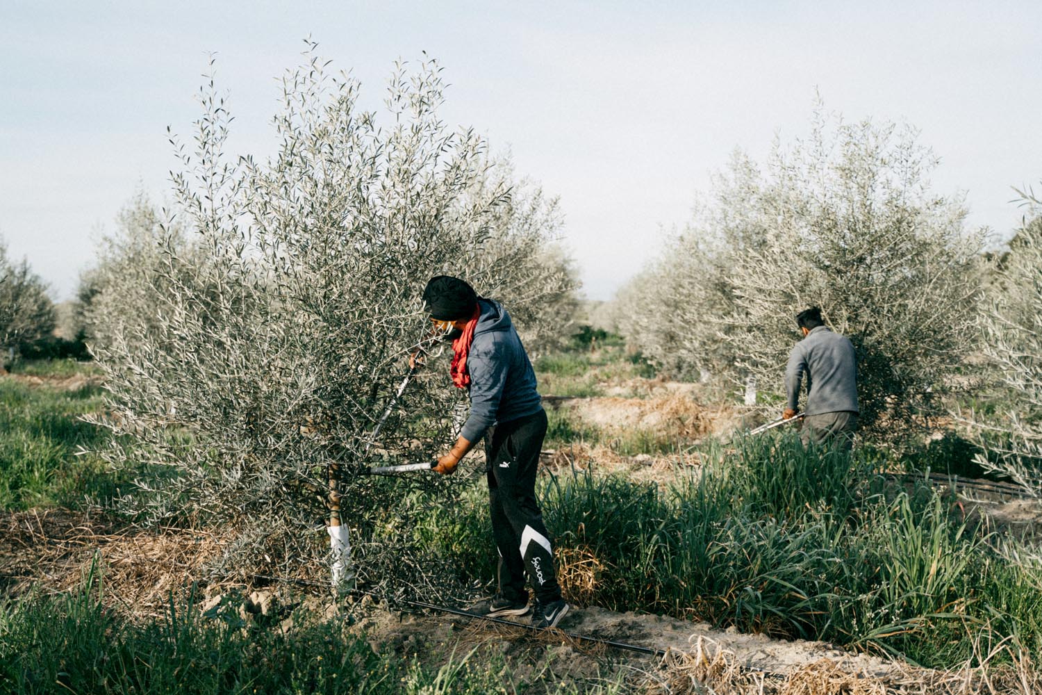
Harvesting olives, Diana Takacsova (August 16, 2022)
From an environmental perspective, illegal cultivation can lead to a decline in soil quality, especially within the sanitary landscape protection zone and groundwater extraction protection zones. Excessive use of pesticides and fertilizers will contaminate the soil and groundwater, thereby negatively affecting the ecosystem. Additionally, monoculture farming can cause issues like soil erosion and loss of topsoil, which undermines soil sustainability.
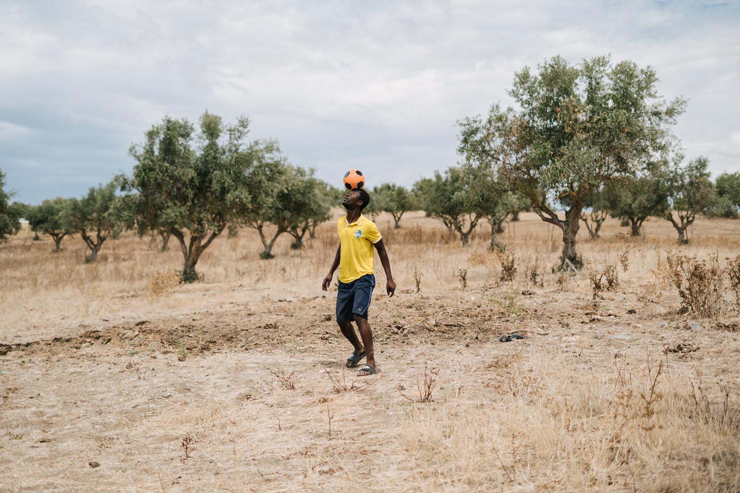
Between rows of crops, Diana Takacsova (August 16, 2022)
On the other hand, unauthorized cultivation also affects the residents' lives. The use of pesticides and fertilizers can have adverse effects on air and water quality, posing threats to residents' health. Furthermore, farming activities can bring about noise, dust, and agricultural waste problems, impacting the residents' quality of life and comfort.

Site Analysis: Distance between different land use
The proximity between the intensively planted areas and the houses is excessively close, which not only violates legal regulations but also leads to severe pollution of the local water supply. Additionally, the study revealed that local organizations lack the authority to voice their concerns regarding this environmental matter.
To address this pressing concern, our research team developed an interactive platform that offers clear and accessible maps of protection zones, along with the relevant regulations to safeguard the environment and residents' well-being.
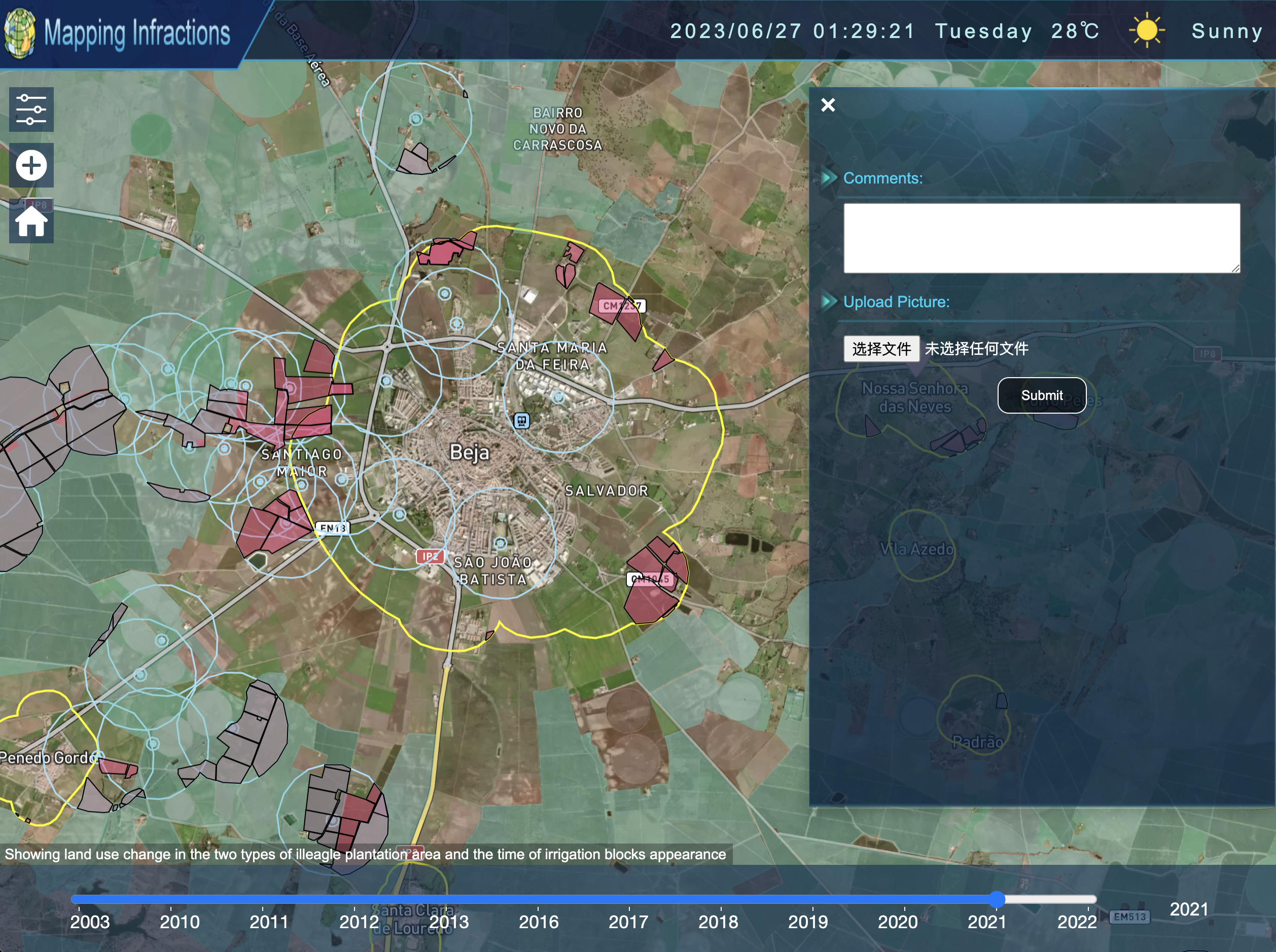
Figure: Website snapshot