Mapping Infractions
Sanitary protection zone and water point

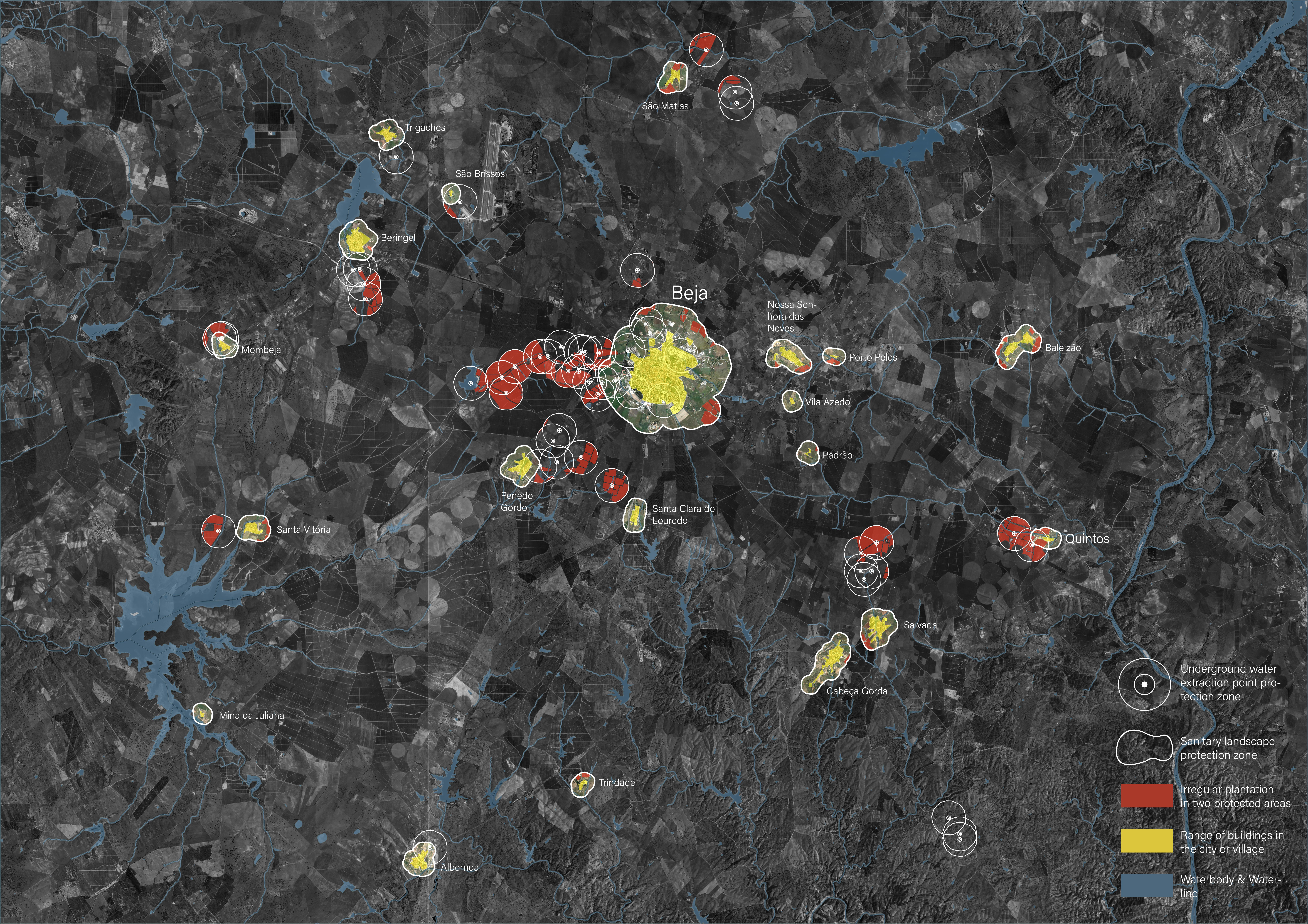
This map primarily shows the unauthorized cultivation occurring within the sanitary landscape conservation areas and groundwater extraction protection zones of Beja City and its surrounding areas. The red areas represent the regions of illegal cultivation, while the yellow areas indicate the distribution range of village buildings, which also serve as the residents' living areas.
Through this map, we can observe the distribution of unauthorized cultivation and the distance between such activities and the residential areas. These unauthorized farming practices may have certain impacts on the environment and residents' lives.

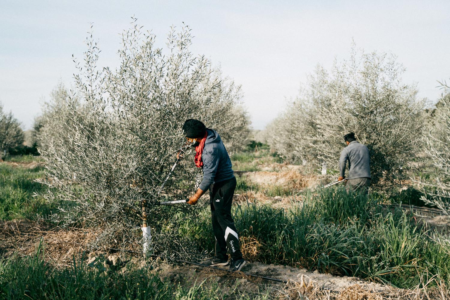
Harvesting olives, Diana Takacsova (August 16, 2022)
From an environmental perspective, illegal cultivation can lead to a decline in soil quality, especially within the sanitary landscape protection zone and groundwater extraction protection zones. Excessive use of pesticides and fertilizers will contaminate the soil and groundwater, thereby negatively affecting the ecosystem. Additionally, monoculture farming can cause issues like soil erosion and loss of topsoil, which undermines soil sustainability.

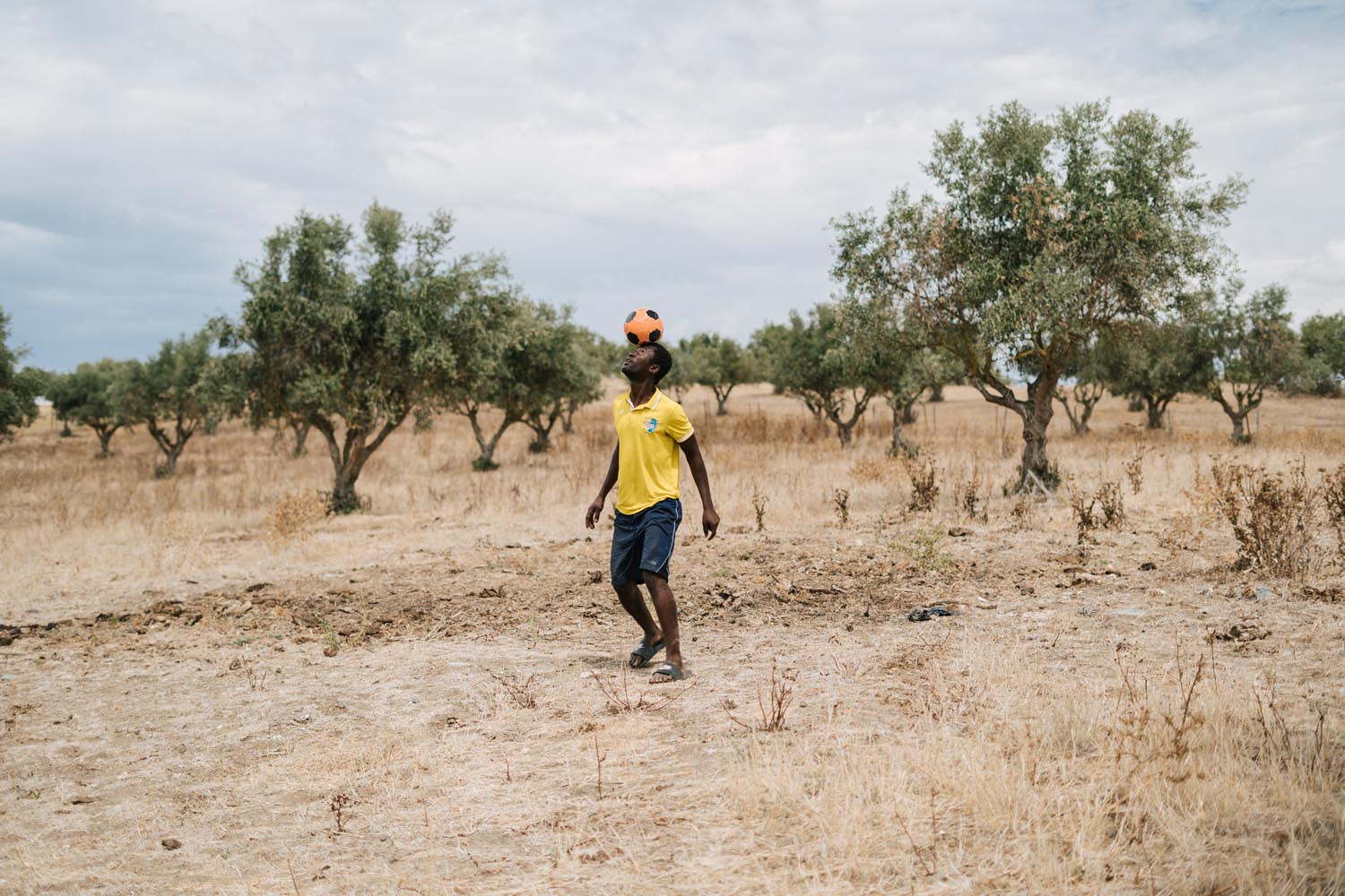
Between rows of crops, Diana Takacsova (August 16, 2022)
On the other hand, unauthorized cultivation also affects the residents' lives. The use of pesticides and fertilizers can have adverse effects on air and water quality, posing threats to residents' health. Furthermore, farming activities can bring about noise, dust, and agricultural waste problems, impacting the residents' quality of life and comfort.

Site Analysis: Distance between different land use
The proximity between the intensively planted areas and the houses is excessively close, which not only violates legal regulations but also leads to severe pollution of the local water supply. Additionally, the study revealed that local organizations lack the authority to voice their concerns regarding this environmental matter.
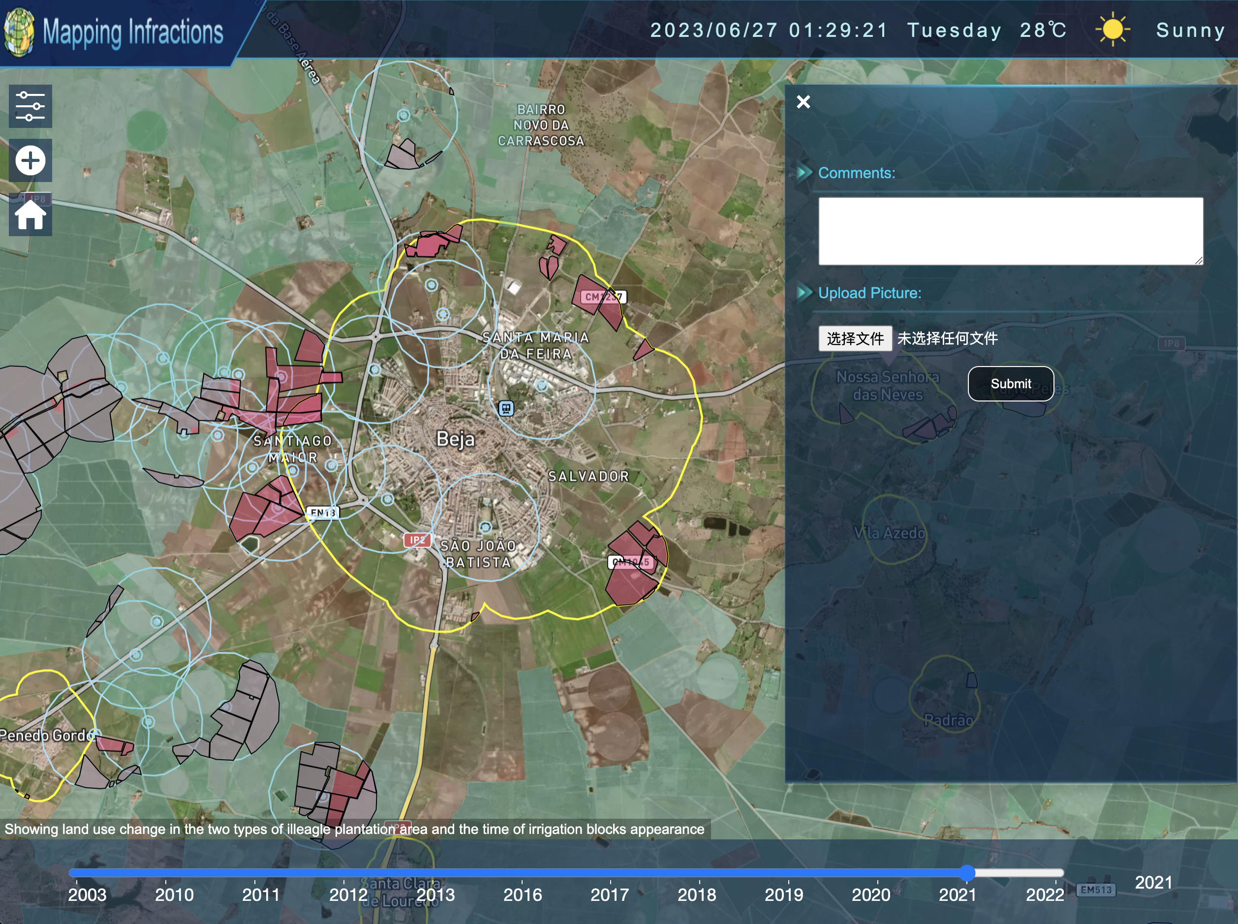
To address this pressing concern, our research team developed an interactive platform that offers clear and accessible maps of protection zones, along with the relevant regulations to safeguard the environment and residents' well-being.
Figure: Website snapshot
